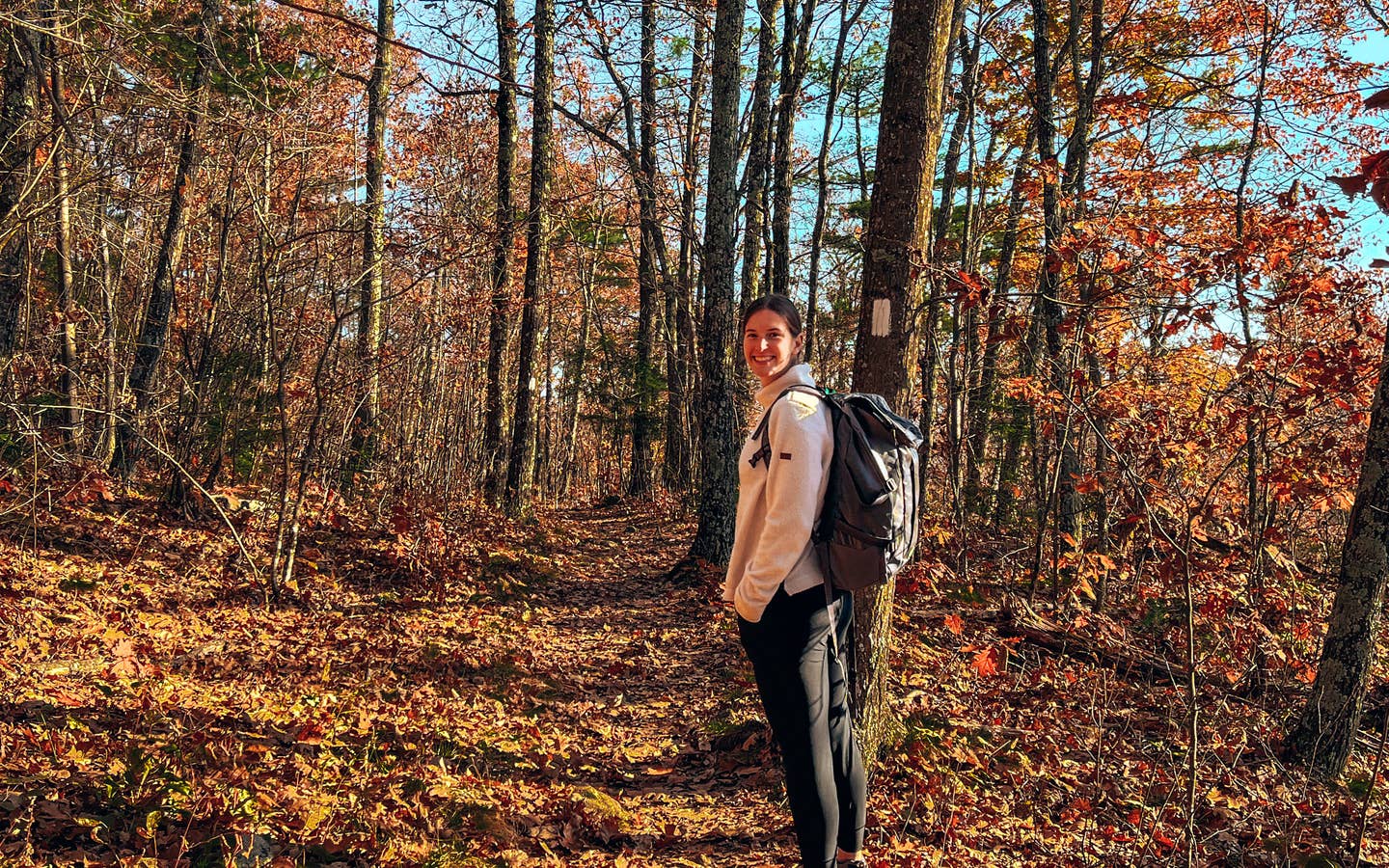
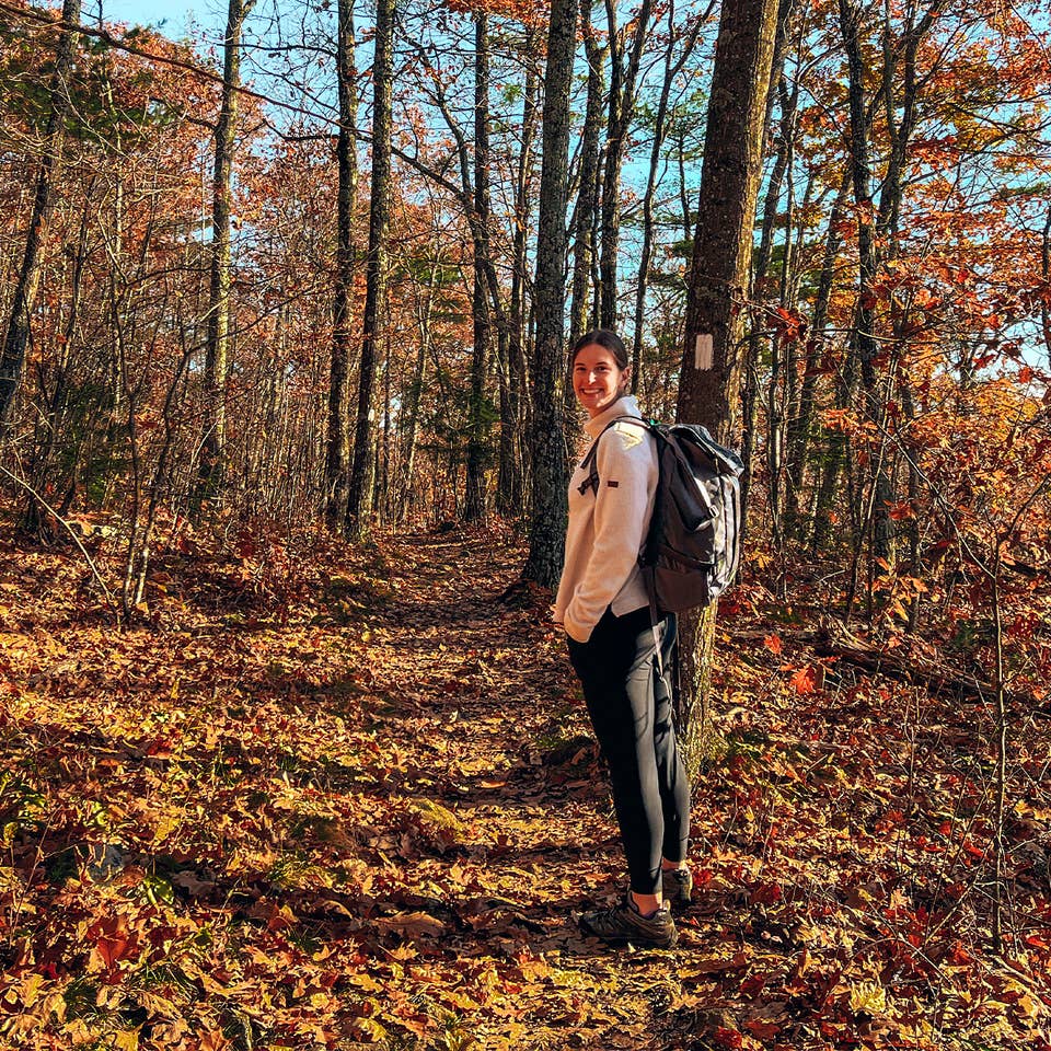
For the past two years, we’ve made hiking a priority in every US state we visit because we love experiencing new terrain and being outside. Over the past year, we’ve visited 10 different states to find the best and most unique trails.
We’re both from New England, so we’ve hiked in the Green Mountains in Vermont a few times but never experienced the beauty of Mount Ascutney hiking trails.
After doing tons of research, we knew all the trails we wanted to visit and tried out different ones of varying difficulties.
Now we have a complete summary of them, along with some pro tips, so you can enjoy your next adventure!
But first, a little bit about this area. Mount Ascutney is very unique as it’s a granite monadnock, or an isolated mountain of erosion-resistant rock. It’s not part of Vermont’s Green Mountains and stands alone at 3,144 feet above the Connecticut River Valley below.
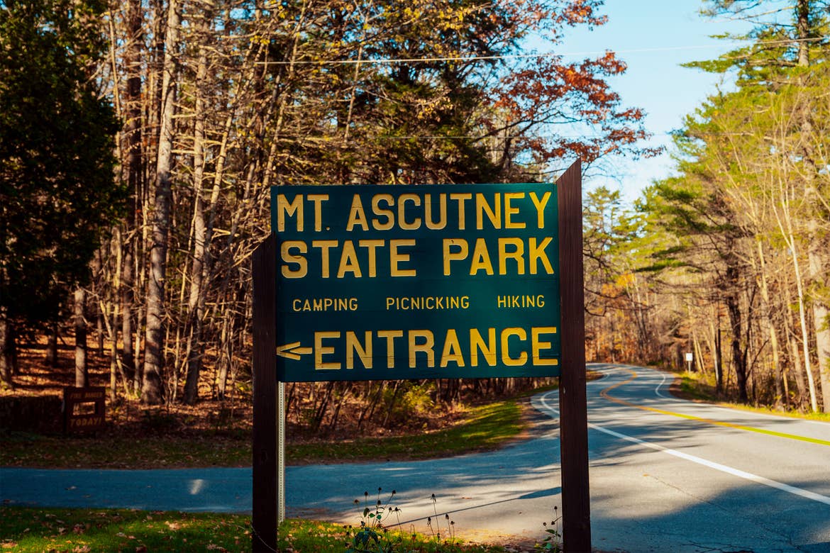
In fact, Mount Ascutney State Park was one of the first state parks in Vermont, and it has amazing trails, activities and swimming holes.
It’s open from Memorial Day weekend to the second weekend in October, but there’s a lot of hiking you can do in the fall and winter as well!
The park has four trailheads and over 12 miles of hiking routes, so there are many choices. You can scale the mountain from one of four trailheads or explore other summit trails after driving up the 3.7-mile toll road.
Pro Tip: There may be a fee to drive on the road and it does close for the winter, so make sure you check the website before going!
If you hike any of the trails that are maintained all year round, just beware of muddy and snowy conditions, and bring the appropriate gear.
After talking to fellow hikers on the trails, we learned about their experiences and made a list of our favorites.
To explore Mount Ascutney hiking trails yourself, check out this trail map from Vermont State Parks to get oriented.
We also stayed at Mount Ascutney Resort, which was perfect because all the trailheads were just 4–18 minutes away!
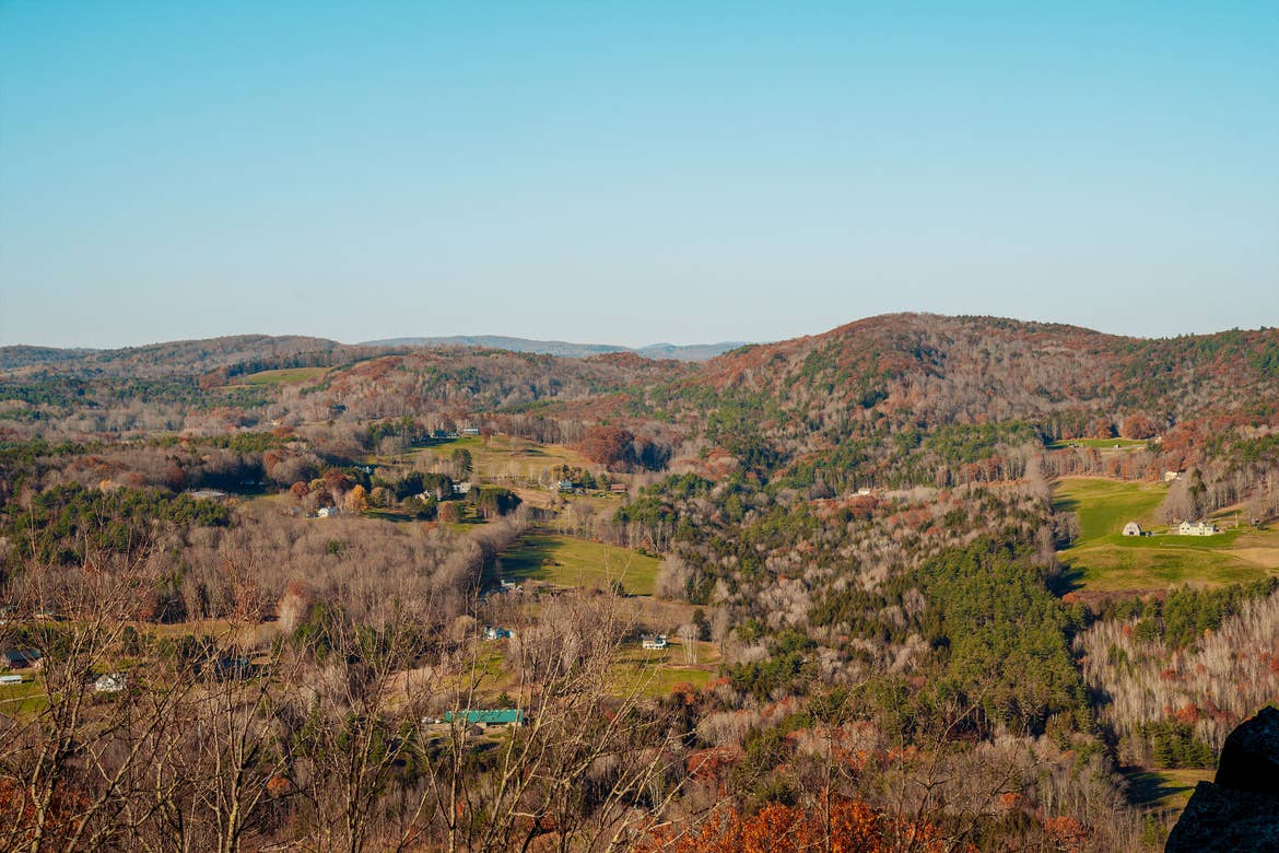
1. Futures Trail
Of the four trailheads, Futures Trail offers the longest route to the summit and begins in the campground. It contains switchbacks through forests that lead to evergreens as you gain elevation.
There’s a great viewpoint a mile up, Bare Rock Vista, which offers great views at any time of day, including sunrise. There are also plenty of good spots to stop for a snack and just take in the scenery.
Length of Trail
8.8 miles, out and back
Elevation Gain
3,061 feet
Level of Difficulty
Hard
Location
The trailhead is about 6 minutes off Interstate 91
Pro Tips
Plan for an all-day hike. Start early to avoid the crowds, bring layers if possible, and always pack extra water and snacks!
Driving Distance from Mount Ascutney Resort
4.7 miles, 11 minutes
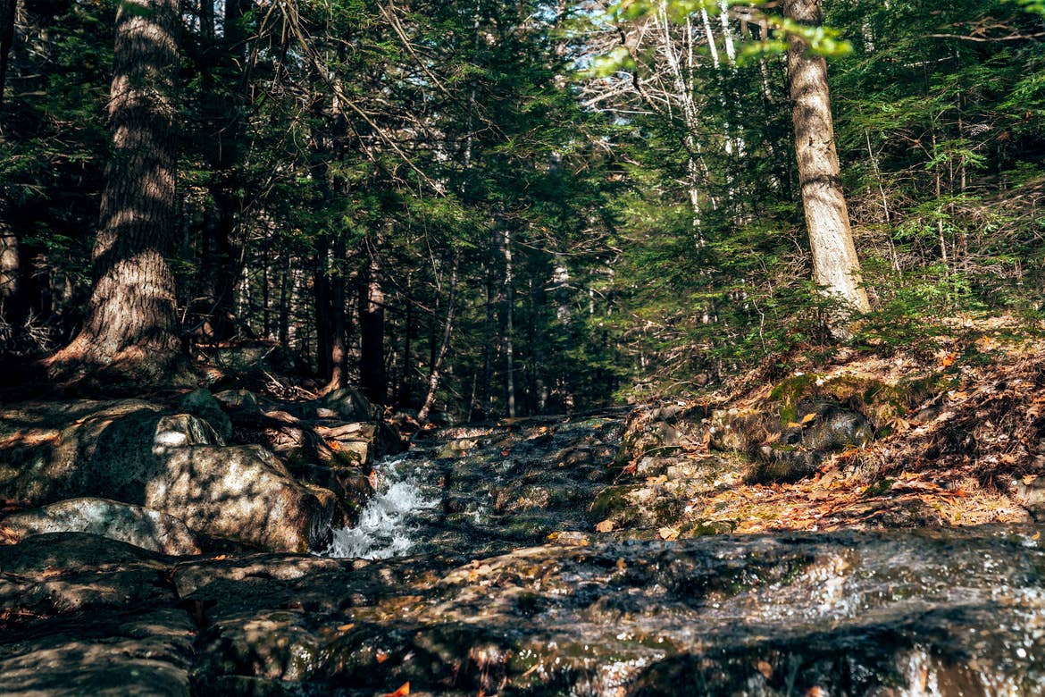
2. Brownsville Trail
The Brownsville Trail is gradual at first and then gets pretty steep in the middle. There’s a rolling ridge hike at the top that will eventually take you to the observation tower that offers 360-degree views.
There are a few viewpoints along the way, and when we hiked, we enjoyed eating lunch at the Quarry Lookout. There was a lot of old mining equipment, which was really cool to see up close.
Length of Trail
6.4 miles, out and back
Elevation Gain
2,414 feet
Level of Difficulty
Hard
Location
Right off Route 44, parking is not inside the park
Pro Tips
Good trail to take up and can take a different trail down. It’s accessible all year round and dogs are allowed on their leash.
Driving Distance from Mount Ascutney Resort
1.7 miles, 4 minutes
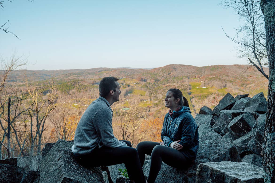
3. Windsor Trail
This is definitely a difficult trail because it’s all uphill and all downhill in either direction, which can be very hard on the knees.
However, the views are extremely rewarding because on a clear day, you can see Mt. Washington, Killington, Stowe and Mt. Mansfield!
Length of Trail
5.3 miles, out and back
Elevation Gain
2,500 feet
Level of Difficulty
Hard
Location
Right off Route 44
Pro Tips
Bring hiking poles for the steep ascent and descent. The trail can be very hard on the knees!
Driving Distance from Mount Ascutney Resort
2.8 miles, 5 minutes
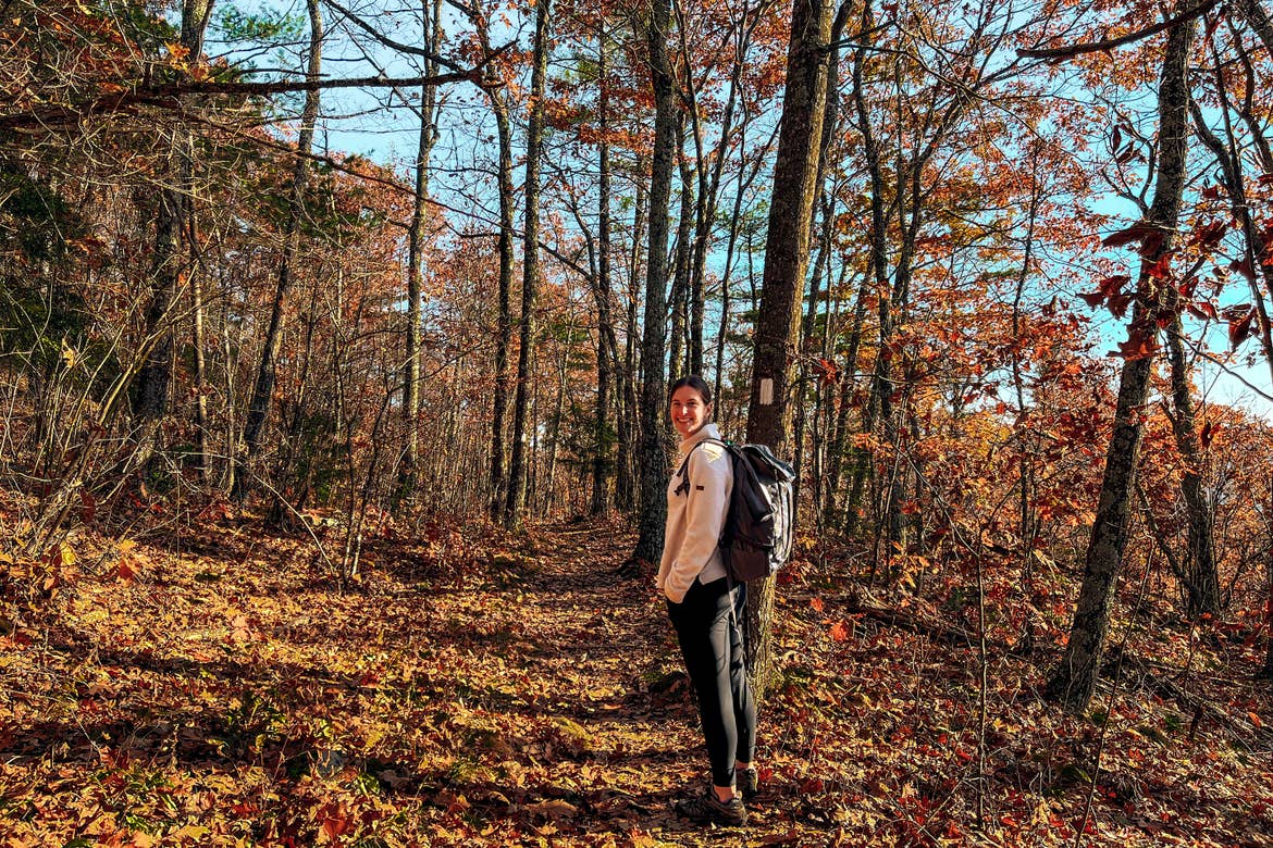
4. Weathersfield Trail
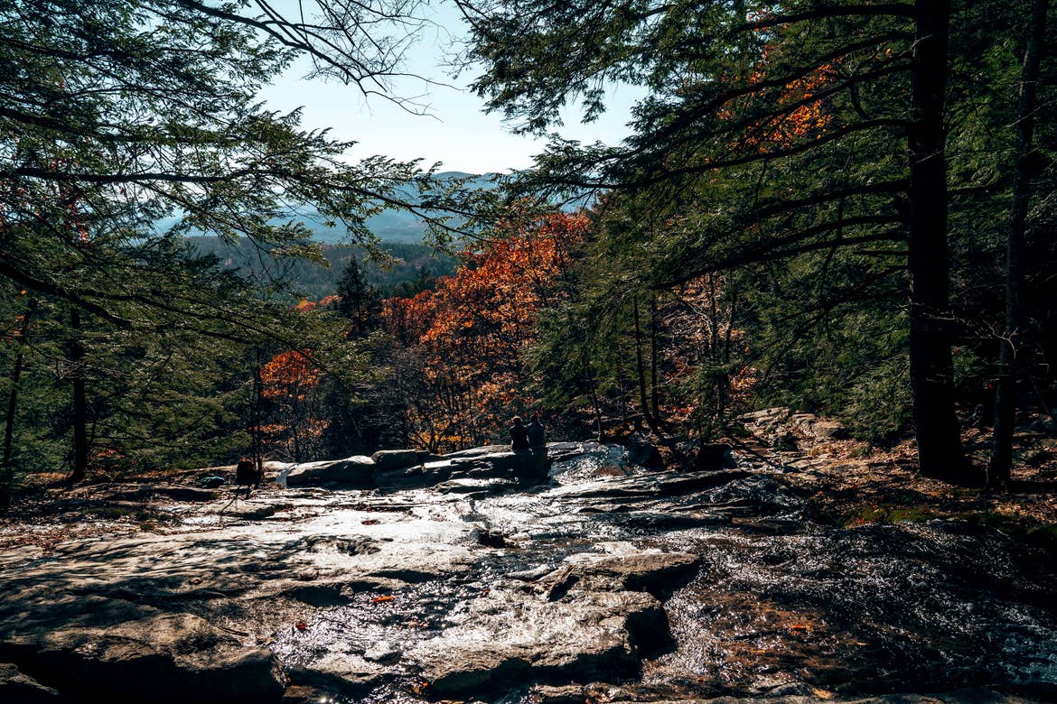
Weathersfield Trail is one of the most popular trails because the trailhead is maintained all year round. This was our favorite because of the waterfalls along the way.
If you don’t want to go all the way to the top, stopping at Little Cascade Falls and Crystal Cascade Falls could be a good family-friendly hike.
Length of Trail
5.7 miles, out and back
Elevation Gain
2,263 feet
Level of Difficulty
Hard
Location
Off Route 131 on Cascade Falls Road
Pro Tips
Get there early because the parking lot fills up quickly.
Driving Distance from Mount Ascutney Resort
11 miles, 18 minutes
5. Mount Ascutney Summit Trails
Some of the best Mount Ascutney hiking trails don’t require strenuous treks and are actually very family-friendly!
Instead of taking one of the four trailheads for long hikes to the summit, you can drive up the toll road in the summer and explore easier trails.
After driving up the 3.7-mile toll road (Mt. Ascutney Parkway), just park in the lot near the summit and explore. Remember that this road closes in October and has a fee!
The views are incredible, even from the parking lot, and you can take any of the short trails to explore the gorgeous views from a different perspective.
Pro Tip: Don’t forget to check out the Mt. Ascutney Observation Tower for 360-degree views of the surrounding area.
Our parting advice: Whenever exploring nature, whether you’re in your backyard, in a state park or national park, please Leave No Trace!
It’s so important to keep nature clean and beautiful for everyone to enjoy. If you’re unfamiliar with Leave No Trace, check out its principles.
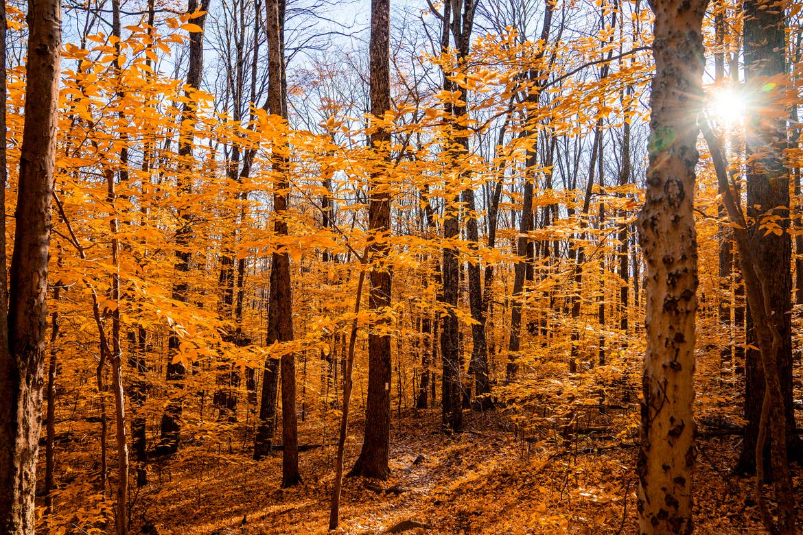
There are plenty of Mount Ascutney hiking trails to choose from, so you really can’t go wrong.
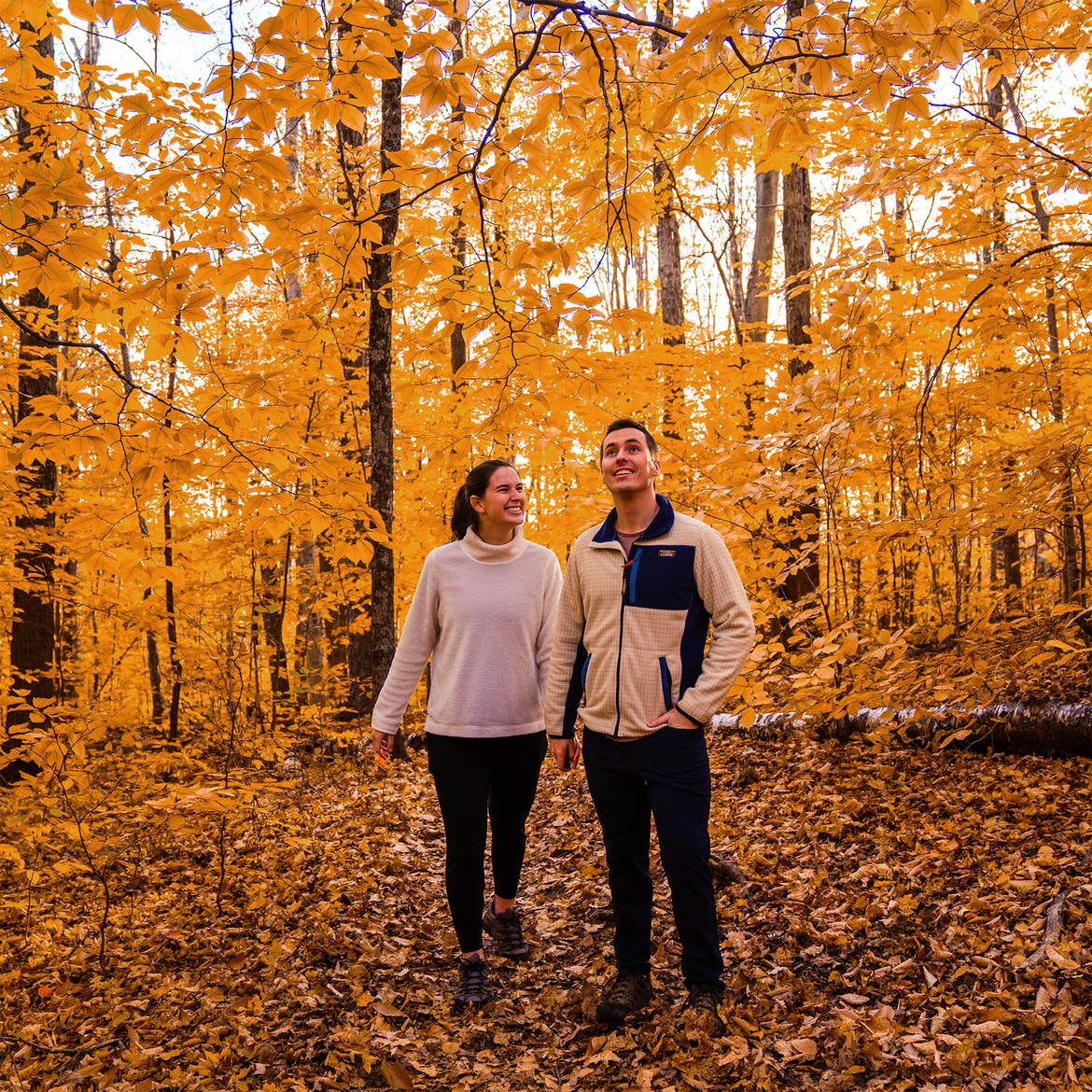
Our favorite part about our vacation was seeing some of the last fall foliage of the season. Getting outside and being in nature is such an important part of our lives, and this amazing fall getaway really aligned with our values.
So, whether you’re interested in a long hike to the summit or just shorter, family-friendly ones, Mount Ascutney has a trail for you.
Vermont is one of the best vacation spots for couples, and we already know we want to come back to this beautiful area in the summer to experience it in the warmer months.
Our guest bloggers are compensated for their writing contributions and honest opinions.
All information is subject to change. This article is a curated guide and is neither sponsored nor considered an official endorsement. Please be sure to check information directly with any/all tours, guides or companies for the most up-to-date and direct details.


